Map Export and Printing
The map export button connects the web app with a printing service to allow the current map to BE printed.
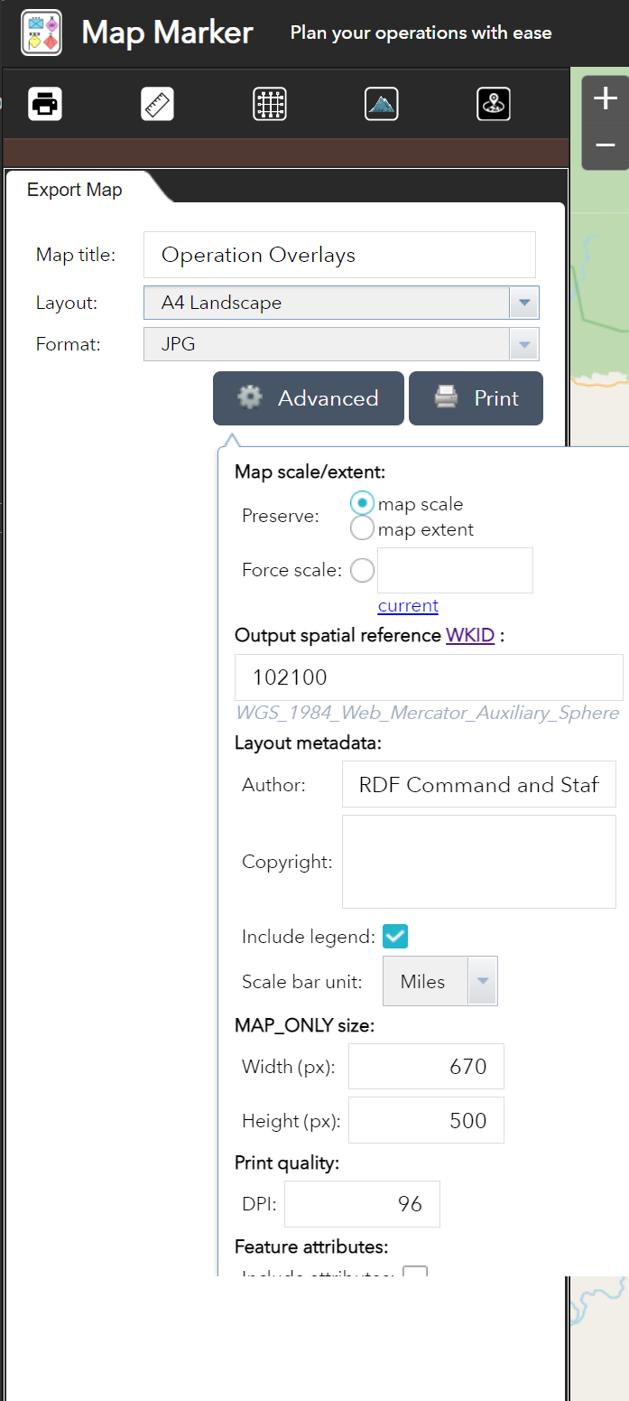
Map scale/extent: Defines the method that the print service uses to calculate the printed extent of the map. Preserving map scale causes the printed map to maintain its scale while re-calculating the extent around the existing center point. Preserving map extent causes the scale to adjust and fit to the current map extent onto the printed map.